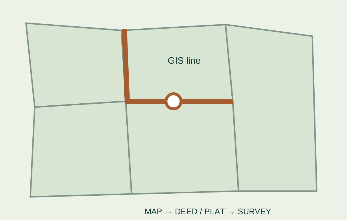
Official parcel-map workflow

Find the official property line map—then verify what it can prove.

Use the correct county or parish GIS system to identify the parcel, recorded references and apparent boundary shape without confusing a public map layer with a legal survey.

Parcel map, deed and survey evidence workflow

Official local-record finder

Find the county parcel or property-line map

A property line map is a research layer, not a boundary verdict.

County parcel systems are built primarily for assessment, administration and public reference. The displayed line may be generalized, shifted against aerial photography or derived from older plats and legal descriptions. It can still be extremely useful for finding the parcel identification number, owner name, tax record, acreage field, recorded plat reference and adjacent parcels.

Use the map to assemble evidence. Do not use the screen line alone to decide where to build a driveway, place a fence, clear land, install utilities or resolve an ownership dispute.

Boundary evidence workflow

Move from the map to evidence you can keep.

Decision questionEvidence to collectWho or what verifies it
Is this the correct parcel?Parcel ID, situs address, owner, legal description reference and adjoining parcelsOfficial assessor or property appraiser record
What was legally conveyed?Current deed, legal description and referenced exhibitsRecorder or clerk records and title professional
Is there a recorded plat?Subdivision plat, survey map or parcel map book and pageRecorder, clerk or local land-record office
Where is the boundary on the ground?Current survey, monuments, occupation lines and mapped improvementsLicensed land surveyor
Do easements or encroachments affect the plan?Title exceptions, plotted easements and improvement locationsSurveyor, title professional and attorney as appropriate

Official starting point

Find the responsible local government first.

USA.gov · United States

State and Local Government Directory

Find official state, county, parish, city and local-government websites before searching parcel, assessor, zoning or planning records.

Important: The directory identifies governments; the relevant parcel map, zoning map and adopted records remain local.

Checked August 2026Open source

Frequently asked

Property line and parcel map questions

Are online property lines legally accurate?

No online parcel layer should be treated as a legal boundary. It can help identify the parcel and records, but a survey and controlling title documents are used when the boundary matters.

Where can I find a property line map?

Start with the official county, parish or local assessor, property appraiser or GIS portal for the jurisdiction where the parcel is located.

Can an assessor map prove ownership?

No. Ownership and title rights are evaluated from recorded documents and title evidence, not a tax-map display alone.

When should I order a survey?

A survey is commonly important when buying, building, fencing, resolving acreage differences, locating easements or addressing a possible encroachment.

Next decision

Convert the parcel map into a complete title, access and survey review.

Open the boundary guide