
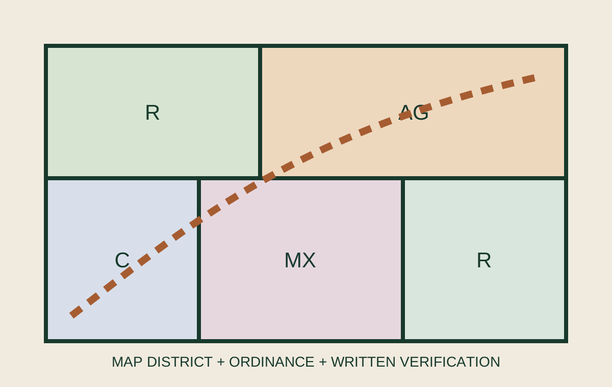
The map names a district; the ordinance explains the consequences.
A parcel may appear inside a residential, agricultural, commercial or mixed-use district, but the map does not tell the whole story. The current ordinance may distinguish permitted, conditional and prohibited uses; impose minimum lot area, frontage, setbacks or height limits; and add overlays for floodplain, historic, airport, watershed or environmental conditions.
Confirm the controlling jurisdiction first. A mailing address, county tax record and city boundary can point to different agencies. Ask the planning or zoning office which code and map apply to the parcel and intended project.