Florida wetland screening

Use the map to find a question—not to declare the answer.

Screen mapped features, compare them with the planned project area and understand when parcel-specific wetland evaluation may be necessary.

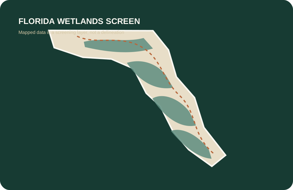
Stylized Florida wetlands screening graphic

Florida screening workflow

Wetlands and planned disturbance
Maps screen; they do not delineate.

The National Wetlands Inventory and other map layers can help identify a concern. Florida wetland boundaries and regulatory outcomes may require parcel-specific evaluation or a formal determination.

Interpretation

Mapped wetlands and legal boundaries are different things.

The U.S. Fish & Wildlife Service Wetlands Mapper provides public access to National Wetlands Inventory data. It is useful for identifying mapped features and downloading data for further research.

Florida wetland evaluation and formal determinations follow state processes. A project may also involve other federal, state, regional or local authorities. The correct next step depends on the parcel and planned activity.

Official sources

Open the map and the Florida methodology.

Federal Emergency Management Agency · United States

FEMA Flood Map Service Center

Official flood-map search and flood-hazard products.

Important: Flood maps do not replace insurance, survey, elevation, permitting or site-specific professional review.

Checked July 2026Open source

U.S. Fish & Wildlife Service · United States

National Wetlands Inventory Wetlands Mapper

Mapped wetland and deepwater screening data.

Important: Mapped data does not establish regulatory jurisdiction or a parcel-specific wetland boundary.

Checked July 2026Open source

USDA Natural Resources Conservation Service · United States

Web Soil Survey

Official soil maps, properties and interpretations for an area of interest.

Important: Soil mapping is a planning resource and does not replace a site evaluation, perc test or engineering investigation.

Checked July 2026Open source

Florida Department of Environmental Protection · Florida

Florida Wetland Evaluation and Delineation

Official context for Florida wetland evaluation, delineation and formal determinations.

Important: Map screening is not a formal or jurisdictional delineation and does not approve development.

Checked July 2026Open source

Frequently asked

Florida wetlands and land buying

Can I build on wetlands in Florida?

The answer depends on the actual wetland boundary, jurisdiction, proposed impacts, available upland area, permits, avoidance and minimization, mitigation and other project requirements. A map alone cannot decide it.

Does the National Wetlands Inventory show every wetland?

It is a valuable screening dataset, but mapped presence or absence is not a parcel-specific regulatory delineation and may not capture every field condition.

What is a formal wetland determination in Florida?

Florida DEP describes a formal determination as a legally binding determination of the landward extent of wetlands and other surface waters for the real property, subject to the applicable law and validity period.

Can wetlands affect septic feasibility?

Yes. Wetlands, water table, soils, setbacks, drainage and the location of a primary and replacement area can reduce the usable footprint for onsite wastewater.